The WISeNet Student Seminars are held during the fall semester and presented by current WISeNet students. These seminars provide students the opportunity to share their research or to discuss their experience at one of the WISeNet laboratory or field experiment sites with other WISeNet participants.
| October 22, 2013 | Itay Cnaan-On | Matt Ross | View Images |
| November 5, 2013 | Patrick Wang | View Images | |
| November 19, 2013 | Joe Zhou | Cassi Carley | View Images |

Itay Cnaan-On
Tuesday, October 22, 2013; 311 North Building - 12:00 p.m. to 2:00 p.m.
Department: Electrical and Computer Engineering
IGERT WISeNet Trainee: 2012 - 2014
"Energy-efficient Simultaneous Wireless Telemetry and Node Localization of Distributed Sensor Networks"
Abstract: This talk will explore the use of wideband waveforms derived from Radar theory to interrogate remotely deployed sensors, for real-time sensor data streams and high resolution localization. A hybrid processing framework based on radar theory and communication theory will be presented and analyzed. In addition, recent experimental results demonstrating the potential in processing of multiple sensor scenarios as well as clutter mitigation will be provided.

Matt Ross
Tuesday, October 22, 2013; 311 North Building - 12:00 p.m. to 2:00 p.m.
Department: Ecology
IGERT WISeNet Trainee: 2012 - 2014
"Controls on Soil Oxygen by Salt Marsh Plants in the Venice Lagoon"
Abstract: In the Venice Lagoon, salt marshes provide a suite of ecosystem services such as hatching grounds, CO2 and nutrient uptake, wave attenuation, and trapping sediment. For salt marshes to remain productive, they must maintain an elevation above average sea-level. These marshes are at high risk of being eroded away into less productive mud flats, because of rising sea levels, physical disturbance, and damage from boat waves. Changes in elevation occur due to changes in 1) inorganic sediment accretion or 2) organic sediment accretion. One way salt marsh plants can directly alter organic sediment accretion rates is by altering the biogeochemistry of the soil by pumping oxygen into anoxic soils. We tested the ability of plants to oxygenate flooded, anoxic soils using continuous monitoring of water pressure (dryness) and oxygen content at shallow (7cm) and deep (~25cm) depths. Our results suggest that plants can pump enough oxygen into the soil to oxygenate the entire profile, but only at high plant density and shallow depths. This result has significant implications for the biogeochemistry of organic sediment accretion and salt marsh erosion.

Nikos Chatzipangiotis
Tuesday, November 5, 2013; 311 North Building - 12:00 p.m. to 2:00 p.m.
Department: Mechanical Engineering and Materials Science
IGERT WISeNet Associate
"Distributed Convex Optimization and Applications"
Abstract: The ever increasing size and complexity of modern day problems, coupled with the ongoing advancements in massively parallel processing capabilities of contemporary computers, have recently revealed the need for developing efficient, distributed computation methods. Distributed algorithms avoid the cost and fragility of collecting all the required information at a centralized location and alleviate the need for central coordination. This allows them to scale much better with respect to the problems’ datasizes, be less vulnerable to changes in the problems’ parameters and, in certain cases, provide better privacy. This presentation will focus on a novel distributed convex optimization algorithm and its applications in areas such as multi-agent robotic networks and model predictive control. Stochastic extensions of the algorithm to address uncertainty and noise in the parameter space will also be discussed, since real world applications often involve problem instances with random or unknown parameters, e.g., the channel gains in wireless communication networks.

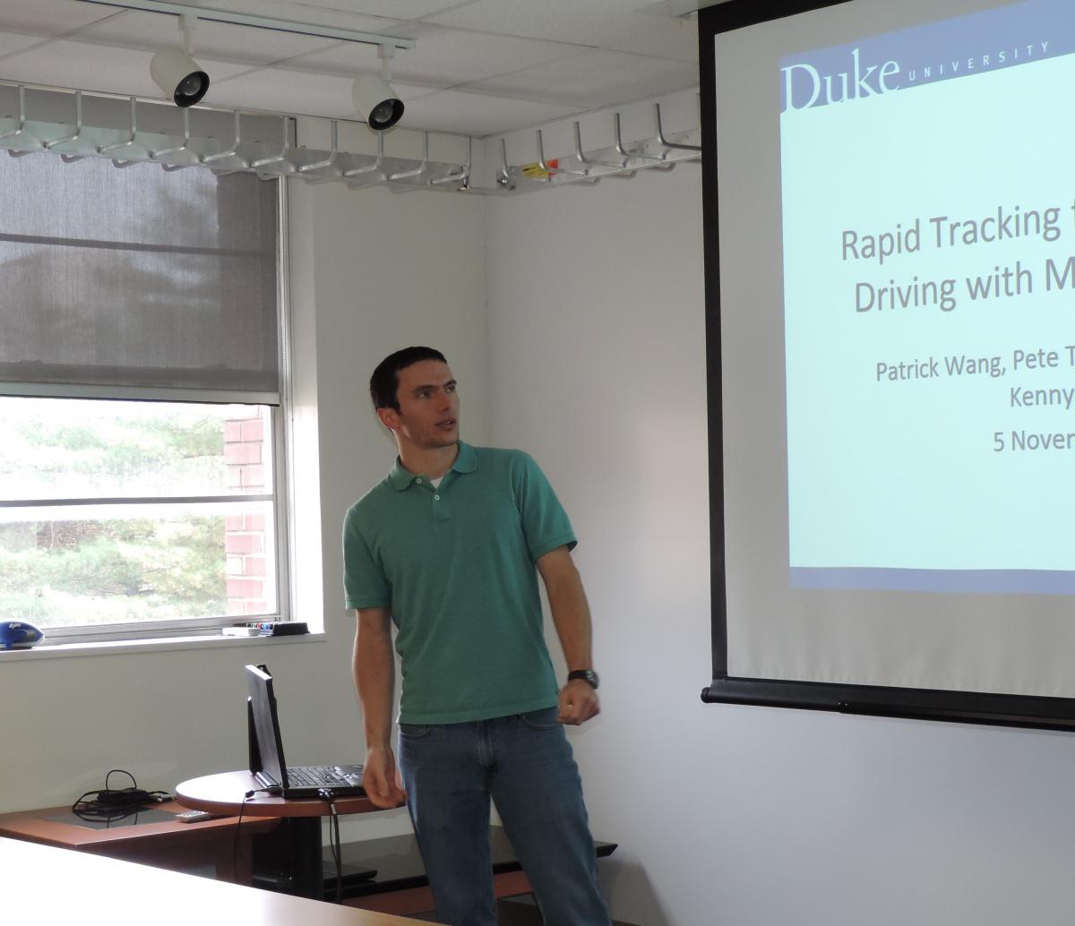
Patrick Wang
Tuesday, November 5, 2013; 311 North Building - 12:00 p.m. to 2:00 p.m.
Department: Electrical and Computer Engineering
IGERT WISeNet Trainee: 2012 - 2014
"Rapid tracking for autonomous driving with monocular video"
Abstract: In the absence of depth information provided by range sensors or stereo cameras, the problem of locating a camera with respect to its environment may yet be solved with the aid of projective geometrical modelling. We present a tracking algorithm for an autonomous vehicle equipped with a single camera. Given only monocular visual data, projective geometry is utilized to compute concise features of the environment. These features are used, with contextual information, both to refine the projective model and to identify road markings. This information is used with a Rao-Blackwellized particle filter to track the vehicle as it moves across the road. The resulting position tracker is used as part of a complete, simulated autonomous driving system. Results are presented for both typical driving and competitive racing.

Joe Zhou
Tuesday, November 19, 2013; 311 North Building - 12:00 p.m. to 2:00 p.m.
Department: Civil and Environmental Engineering
IGERT WISeNet Associate
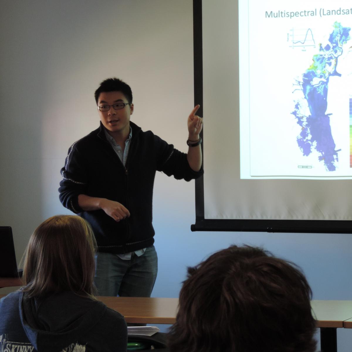
"Remote sensing retrieval of water constituents in shallow coastal waters with applications to the Venice lagoon"
Abstract: Lagoons and estuaries worldwide are experiencing accelerated ecosystem degradation due to increased direct and indirect anthropogenic pressure. Monitoring the environmental states and trends in such environment would benefit from the use of remote sensing techniques, which can access a wide range of spatial and temporal scales. However, most remote sensors are not suitable for monitoring shallow and optically-complex waters, mainly because of their low spatial and spectral-resolution and of the uncertainties associated with the contribution of the bottom sediment to the observed remote sensing signal. We apply here a remote sensing-based approach to map suspended sediment and chlorophyll concentrations in the shallow Venice lagoon, which integrates remote sensing data, a simplified radiative transfer model, and in-situ water quality measurements. Hyperspectral (Hyperion) data, and synthetic Landsat OLI and ETM+ data (both derived from Hyperion) are utilized in this analysis. First, we calibrate and validate the key parameters of the model, such as the bottom albedo and absorption/backscattering coefficients of sediment, by comparing remote sensing derived water constituent concentrations with in-situ data. We then determine the statistics of those parameters, and the associated estimation uncertainty, by applying a bootstrapping technique. Our estimates are consistent with measured concentrations and their known optical properties, particularly for the suspended sediment concentrations, while chlorophyll concentration estimates remain more uncertain. In addition, the results shows that Hyperion, and synthetic Landsat OLI and ETM+ data performed similarly in the retrieval of suspended sediment concentration.

Cassi Carley
Tuesday, November 19, 2013; 311 North Building - 12:00 p.m. to 2:00 p.m.
Department: Computer Science
IGERT WISeNet Trainee: 2012 - 2014
"2D Features for 3D Hand Tracking"
Abstract: We are developing a markerless system to track the joints of a moving human hand with a Kinect RGBD sensor. In our system, an articulated musculoskeletal model of a hand is continuously fit to the sensor data. The current phase of our research focuses on using the shape of the hand’s silhouette in the 2D color image from the Kinect to initialize the search for the best-fit solution in the high dimensional space of hand-joint parameters. The second phase, which we leave for further research, improves model fit to data with a local optimization algorithm that refines the parameters of the 3D hand model. For initialization, we use graphics software and our model to construct a database of 3D hand configurations and their image silhouettes. A suitable descriptor for a new silhouette from the sensor is used as an index into the database to retrieve nearby hand configurations. The challenge is to design an index where “nearby in index space” correlates highly with “nearby in hand-joint space.” To this end, our descriptor captures the main convexities and concavities of the silhouette’s boundary, which we believe are more telling of 3D hand configuration than the detailed boundary geometry. We use the notion of topological persistence to filter out irrelevant local extrema.
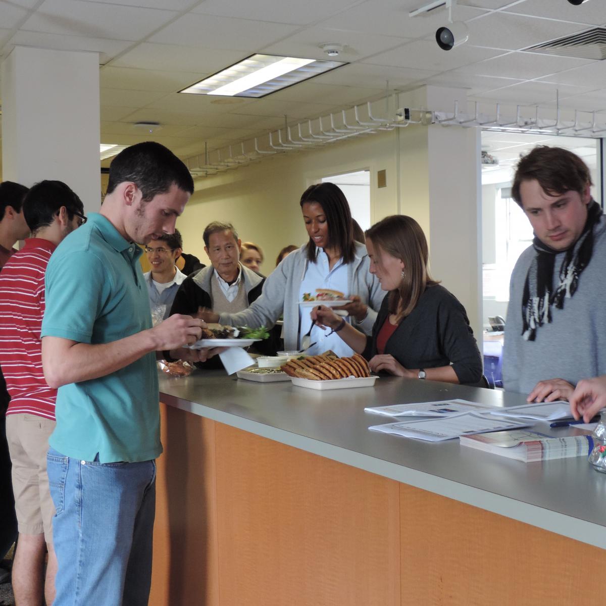
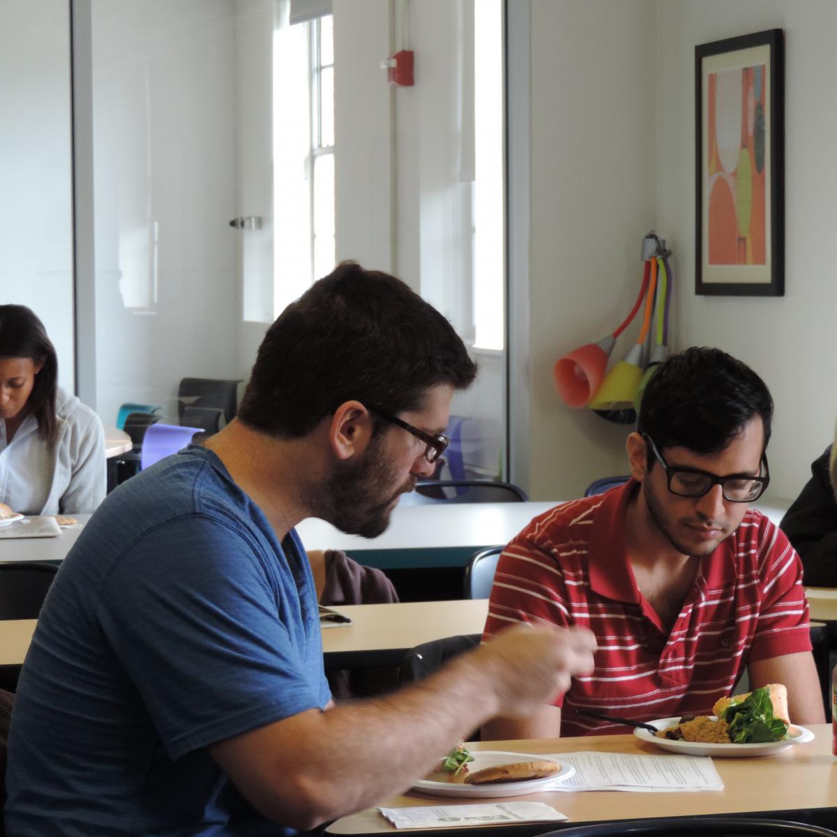
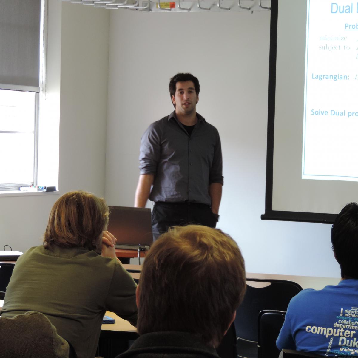
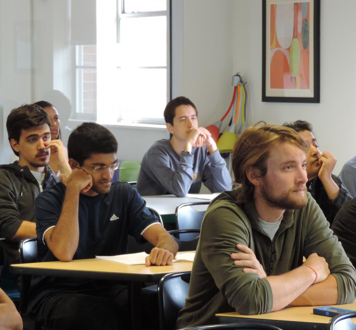
Images from October 22, 2013 Seminar:
 |
 |
 |
 |
 |
 |
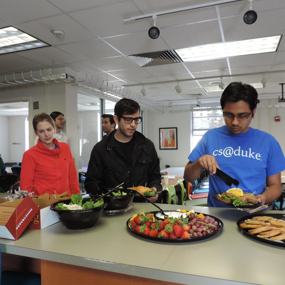
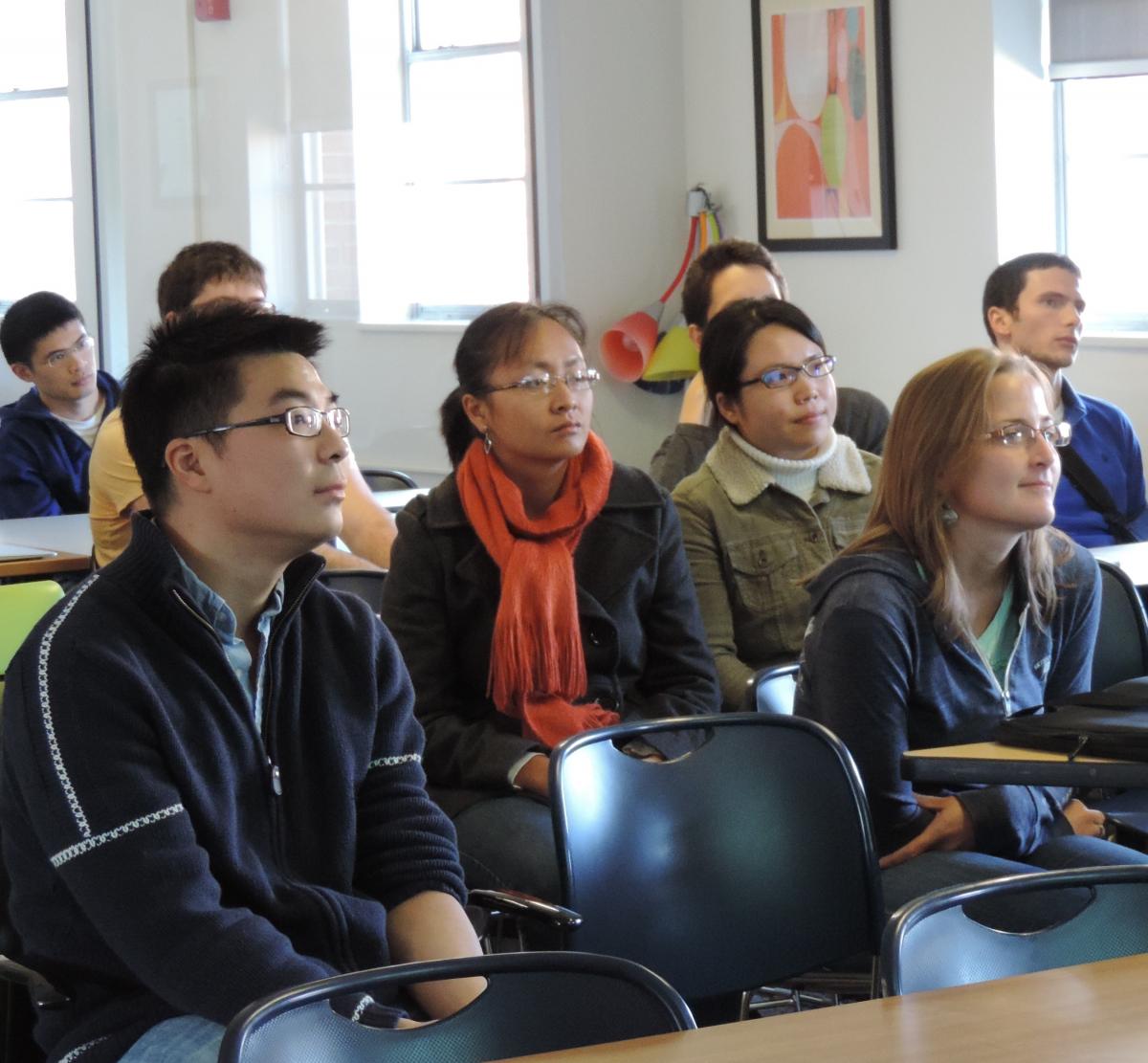
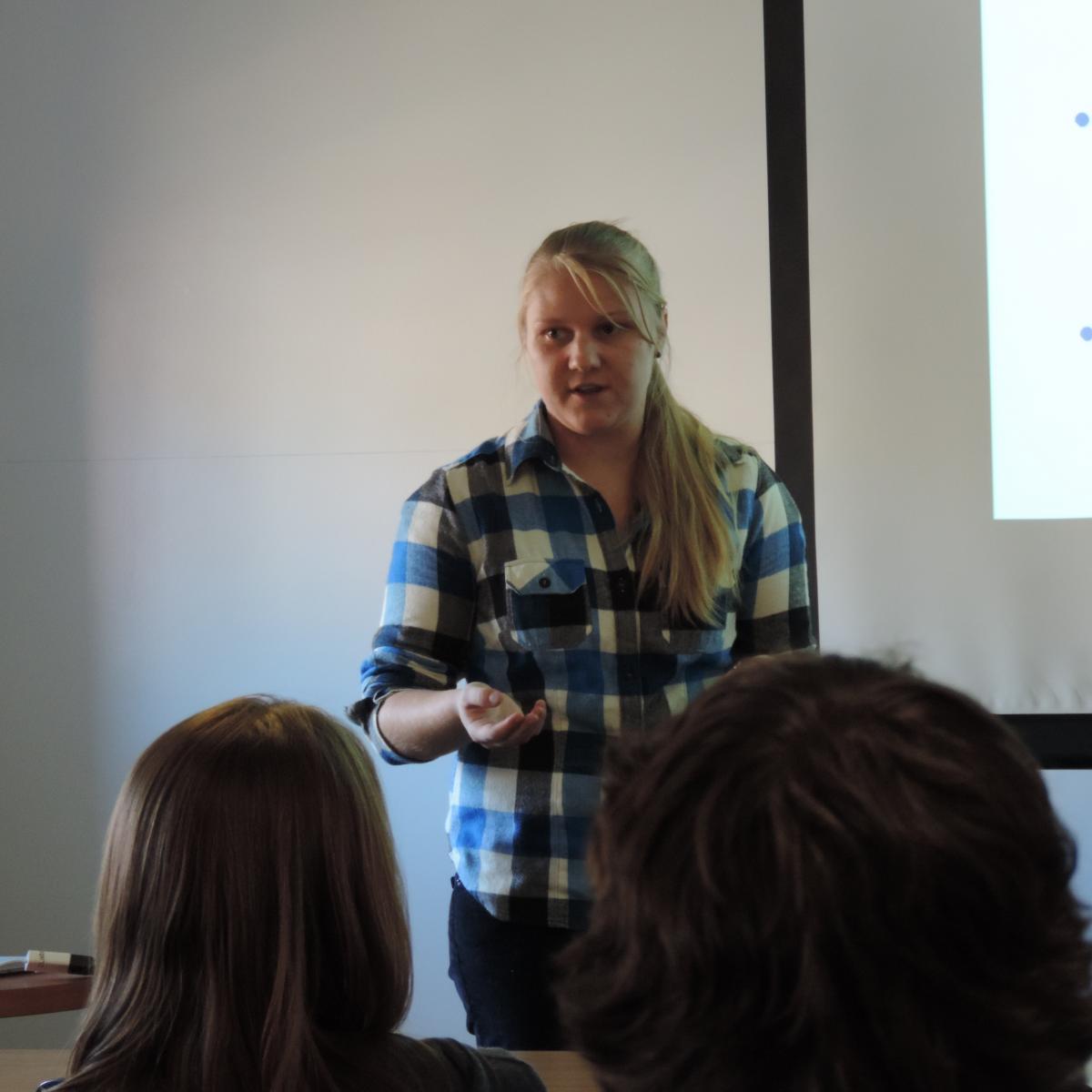
Images from November 5, 2013 Seminar:
  |
|
|
Images from November 19, 2013 Seminar:
 |
 |
 |
 |